ST_DistanceSpheroid
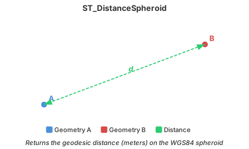
Introduction: Return the geodesic distance of A using WGS84 spheroid. Unit is meter. Works better for large geometries (country level) compared to ST_Distance + ST_Transform. It is equivalent to PostGIS ST_Distance(geography, use_spheroid=true) and ST_DistanceSpheroid function and produces nearly identical results. It provides slower but more accurate result compared to ST_DistanceSphere.
Geometry must be in EPSG:4326 (WGS84) projection and must be in lon/lat order. You can use ST_FlipCoordinates to swap lat and lon. For non-point data, we first take the centroids of both geometries and then compute the distance.
If either geometry is empty, the function returns NULL.
Note
By default, this function uses lon/lat order since v1.5.0. Before, it used lat/lon order.
Format: ST_DistanceSpheroid (A: Geometry)
Return type: Double
Since: v1.4.1
Example:
SELECT ST_DistanceSpheroid(ST_GeomFromWKT('POINT (-0.56 51.3168)'), ST_GeomFromWKT('POINT (-3.1883 55.9533)'))
Output:
544430.9411996207