ST_Collect
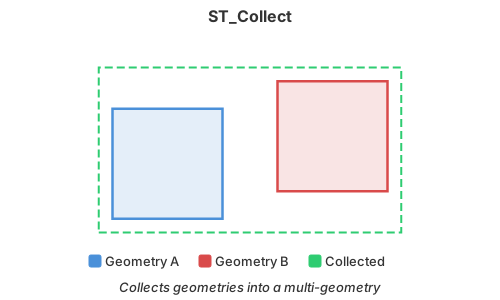
Introduction: Collects spatial values into a multi-object or collection without dissolving their
boundaries. Homogeneous Point, LineString, or Polygon inputs produce the corresponding
multi-object; mixed input types produce the OGC/WKT GeometryCollection type.
Format:
ST_Collect(*geom: Geometry)
ST_Collect(geom: ARRAY[Geometry])
ST_Collect(*geog: Geography)
ST_Collect(geog: ARRAY[Geography])
Return type: Geometry or Geography, matching the input type
Since: v1.2.0 (Geometry), v1.9.1 (Geography)
Null elements are ignored. Member values and duplicates are preserved. For Geography inputs,
the first non-null input supplies the output SRID; later inputs are not required to have the same
SRID. In contrast, ST_Collect_Agg rejects a group
containing mixed Geography SRIDs.
For Geometry inputs, a multipart result must have a consistent coordinate layout (XY, XYZ,
XYM, or XYZM). Starting in 2.0.0, dimensions declared in WKB are retained even for empty geometries
or NaN Z values. Combining WKB-declared XY and XYZ components, such as an XY point and
POINT Z EMPTY, raises a heterogeneous-layout error during serialization. To preserve each member's layout in a
GeometryCollection, apply ST_ForceCollection to each input before collecting it.
SQL Example
SELECT ST_Collect(
    ST_GeomFromText('POINT(21.427834 52.042576573)'),
    ST_GeomFromText('POINT(45.342524 56.342354355)')
) AS geom
Result:
+---------------------------------------------------------------+
|geom                                                           |
+---------------------------------------------------------------+
|MULTIPOINT ((21.427834 52.042576573), (45.342524 56.342354355))|
+---------------------------------------------------------------+
Geography SQL Example with GROUP BY
WITH observations AS (
    SELECT 'west' AS region, ST_GeogFromWKT('POINT(-122.4 37.8)', 4326) AS geog
    UNION ALL
    SELECT 'west' AS region, ST_GeogFromWKT('POINT(-122.5 37.7)', 4326) AS geog
    UNION ALL
    SELECT 'east' AS region, ST_GeogFromWKT('POINT(-73.9 40.7)', 4326) AS geog
)
SELECT region, ST_Collect(ARRAY_AGG(geog)) AS geographies
FROM observations
GROUP BY region
SQL Example
SELECT ST_Collect(
    Array(
        ST_GeomFromText('POINT(21.427834 52.042576573)'),
        ST_GeomFromText('POINT(45.342524 56.342354355)')
    )
) AS geom
Result:
+---------------------------------------------------------------+
|geom                                                           |
+---------------------------------------------------------------+
|MULTIPOINT ((21.427834 52.042576573), (45.342524 56.342354355))|
+---------------------------------------------------------------+