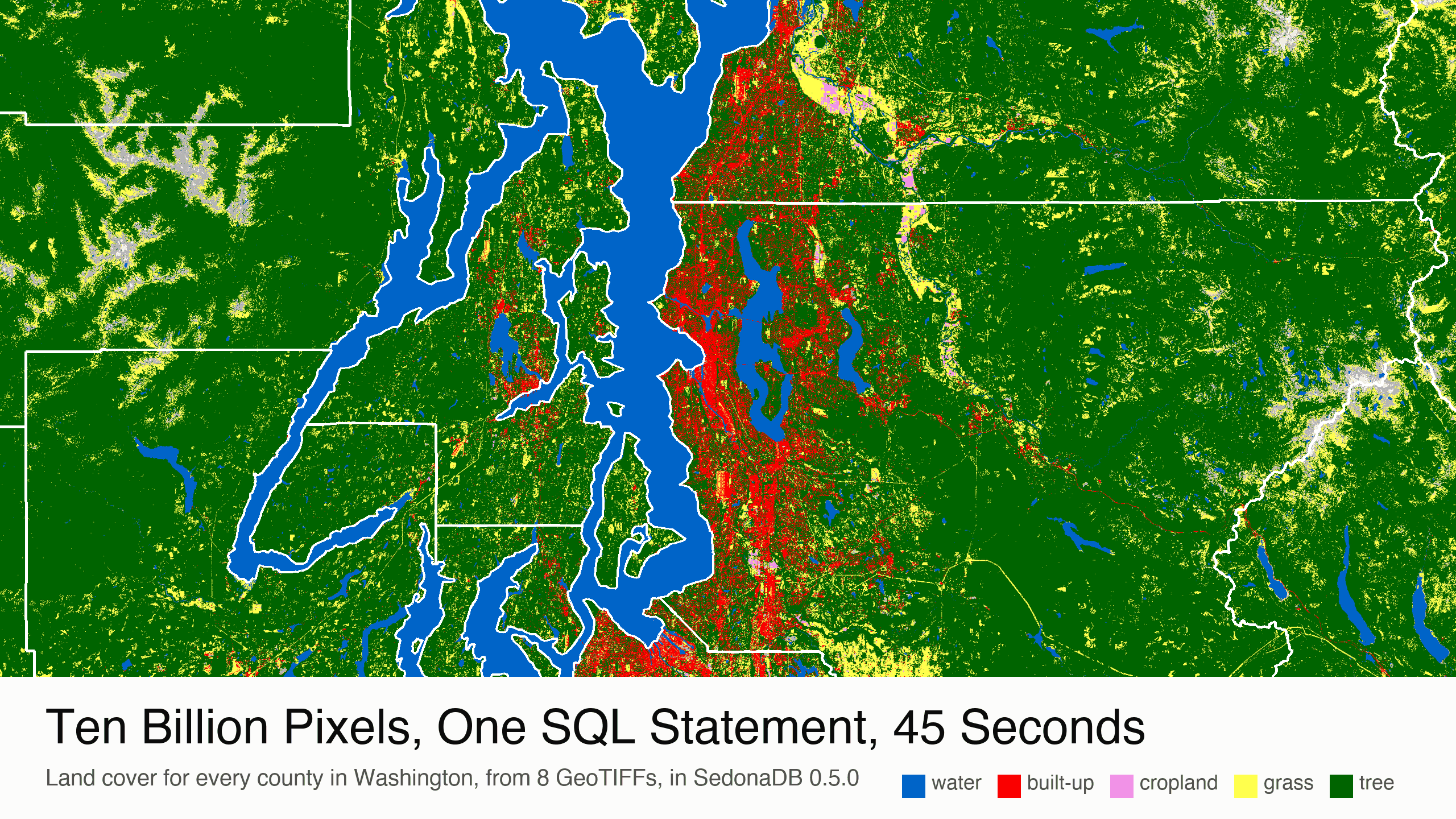
Ten Billion Pixels, One SQL Statement, 45 Seconds
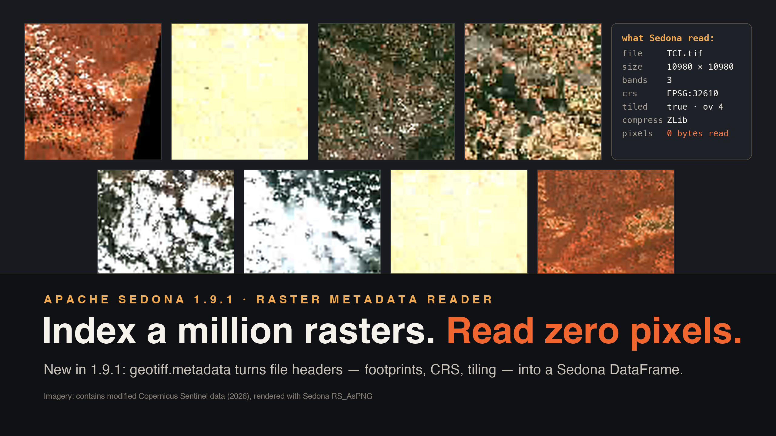
Where are the trees in Washington State? The answer is spread across 10.4 billion pixels, one byte each. ESA mapped the land cover of the whole planet in 2021, one pixel for every 10 meters of ground, and 8 files of that map cover Washington. SedonaDB 0.5.0, written in Rust, reads the 8 files as one table. One SQL statement joins that table to the 39 counties and returns the tree cover of every county in 45 seconds, on one machine.