Rust Warps, SQL Calls, NumPy Reads: Three Rasters on One Grid
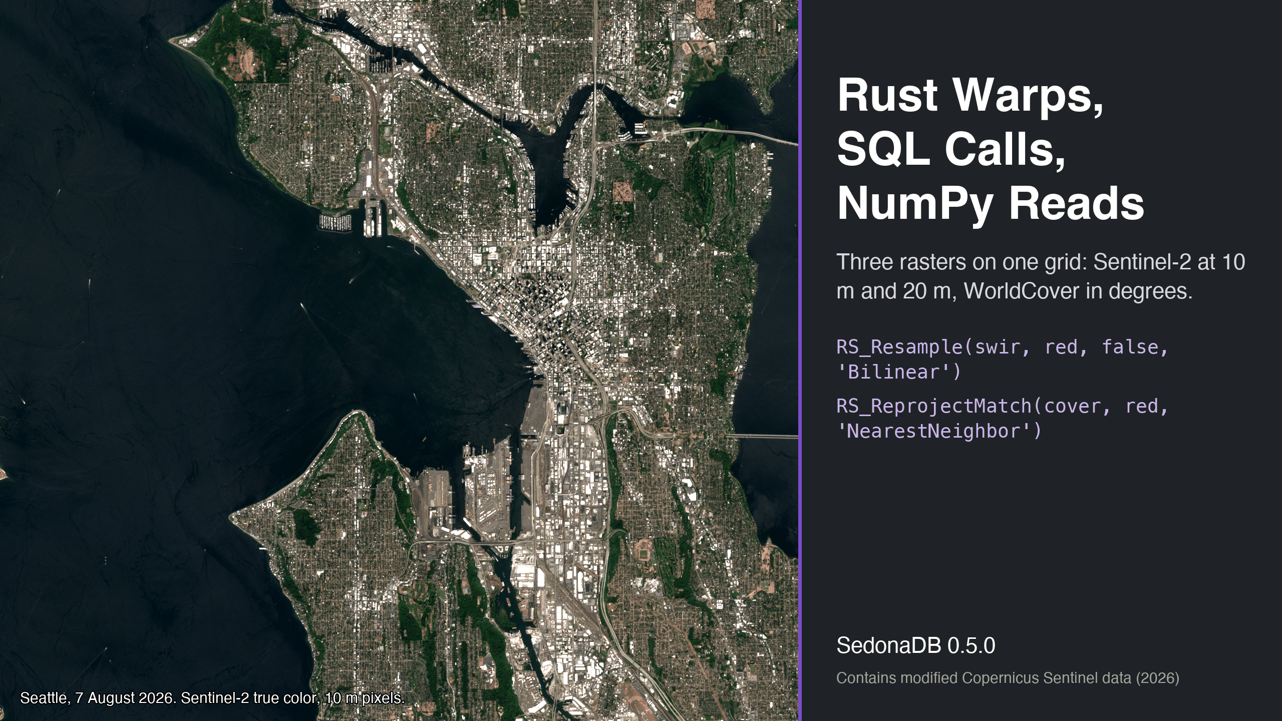
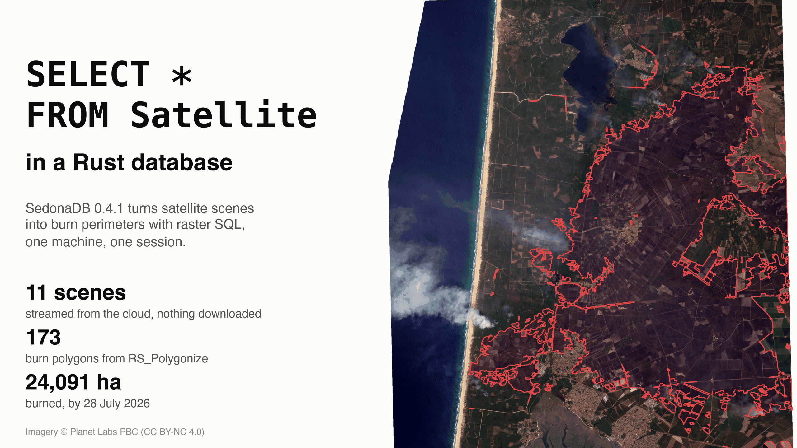
A satellite image and a land cover map of Seattle do not line up pixel for pixel. Each is a raster, a grid of pixels over the ground, and the grids differ: 10 m and 20 m pixels in the image, pixels measured in degrees in the map. Before any comparison, every pixel has to cover the same patch of ground in every file. SedonaDB 0.5.0, a database written in Rust, lines them up with two SQL functions. RS_Resample changes a raster's pixel size, and RS_ReprojectMatch moves a raster onto another raster's grid. NumPy then reads the three rasters as arrays of the same shape.