RS_WorldToRasterCoordX
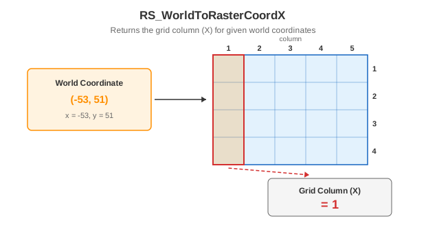
Introduction: Returns the X coordinate of the grid coordinate of the given world coordinates as an integer.
Format:
RS_WorldToRasterCoordX(raster: Raster, point: Geometry)
RS_WorldToRasterCoordX(raster: Raster, x: Double, y: Double)
Return type: Integer
Since: v1.5.0
SQL Example
SELECT RS_WorldToRasterCoordX(ST_MakeEmptyRaster(1, 5, 5, -53, 51, 1, -1, 0, 0), -53, 51) from rasters;
Output:
1
SQL Example
SELECT RS_WorldToRasterCoordX(ST_MakeEmptyRaster(1, 5, 5, -53, 51, 1, -1, 0, 0), ST_GeomFromText('POINT (-53 51)')) from rasters;
Output:
1
Tip
For non-skewed rasters, you can provide any value for latitude and the intended value of world longitude, to get the desired answer