RS_ScaleY
Introduction: Returns the pixel height of the raster in CRS units.
Note
RS_ScaleY attempts to get an Affine transform on the grid in order to return scaleX (See World File for more details). If the transform on the geometry is not an Affine transform, RS_ScaleY will throw an UnsupportedException:
UnsupportedOperationException("Only AffineTransform2D is supported")
For more information about ScaleX, ScaleY, SkewX, SkewY, please refer to the Affine Transformations section.
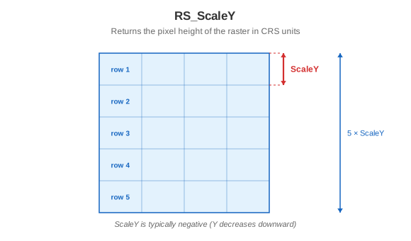
Format: RS_ScaleY(raster: Raster)
Return type: Double
Since: v1.5.0
SQL Example
SELECT RS_ScaleY(raster) FROM rasters
Output:
-2